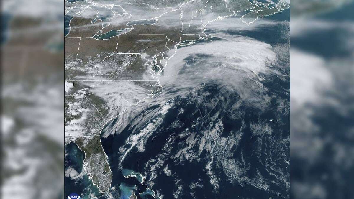
Extreme weather can occur in spring due to storms fueled by the large temperature differences between budding heat and persistent winter cold. Meteorologist Benjamin Reppert from Pennsylvania State University noted that this season is conducive to impactful storms from coast to coast. Strong winds are forecasted from the Canadian border to the Rio Grande, with gusts of up to 130 km/h, posing a fire risk for Texas, New Mexico, and Oklahoma. Additionally, heavy rains are expected south of Jacksonville, Florida.
Reppert highlighted that temperatures in the upper layers of the atmosphere across much of the central and eastern United States are nearing record levels for this time, while a cold air mass in the west contains some of the lowest recorded temperatures. Intense rain is expected in Louisiana, Mississippi, Alabama, Tennessee, and Florida with a risk of flooding. Turbulent weather is expected to reach the east coast by Sunday with strong winds and potential flash flooding.
A severe March storm could affect more than 100 million people in the United States with potential fires, blizzards, tornadoes, and floods as it moves eastward from the Great Plains. Scientists indicate that the intensity and scope of the storm are not particularly unusual for the season. The system will be shaped by the jet stream, which could contribute to its strength, according to Professor Ryan Torn.
The system, fueled by temperature oscillations, will also draw heat and moisture from the Gulf of Mexico. This could lead to stronger winds and more intense rainfall. The system is expected to become a bomb cyclone in a short period of time, which would intensify the storm. In more northern regions, a winter burst with possible blizzards is expected, while the central region faces the risk of thunderstorms capable of generating tornadoes and hail.